Drone Roof Inspection
Drone Roof Inspection in Hoover, AL
Some roofs are too big to walk in one afternoon and too fragile to walk at all. A drone covers them in minutes. Over Hoover, AL, that means flying a pattern across a flat roof, a standing seam panel run or a steep section with no crew on the surface. You get a photo record of the whole roof the same day, which is hard to match from the ground.
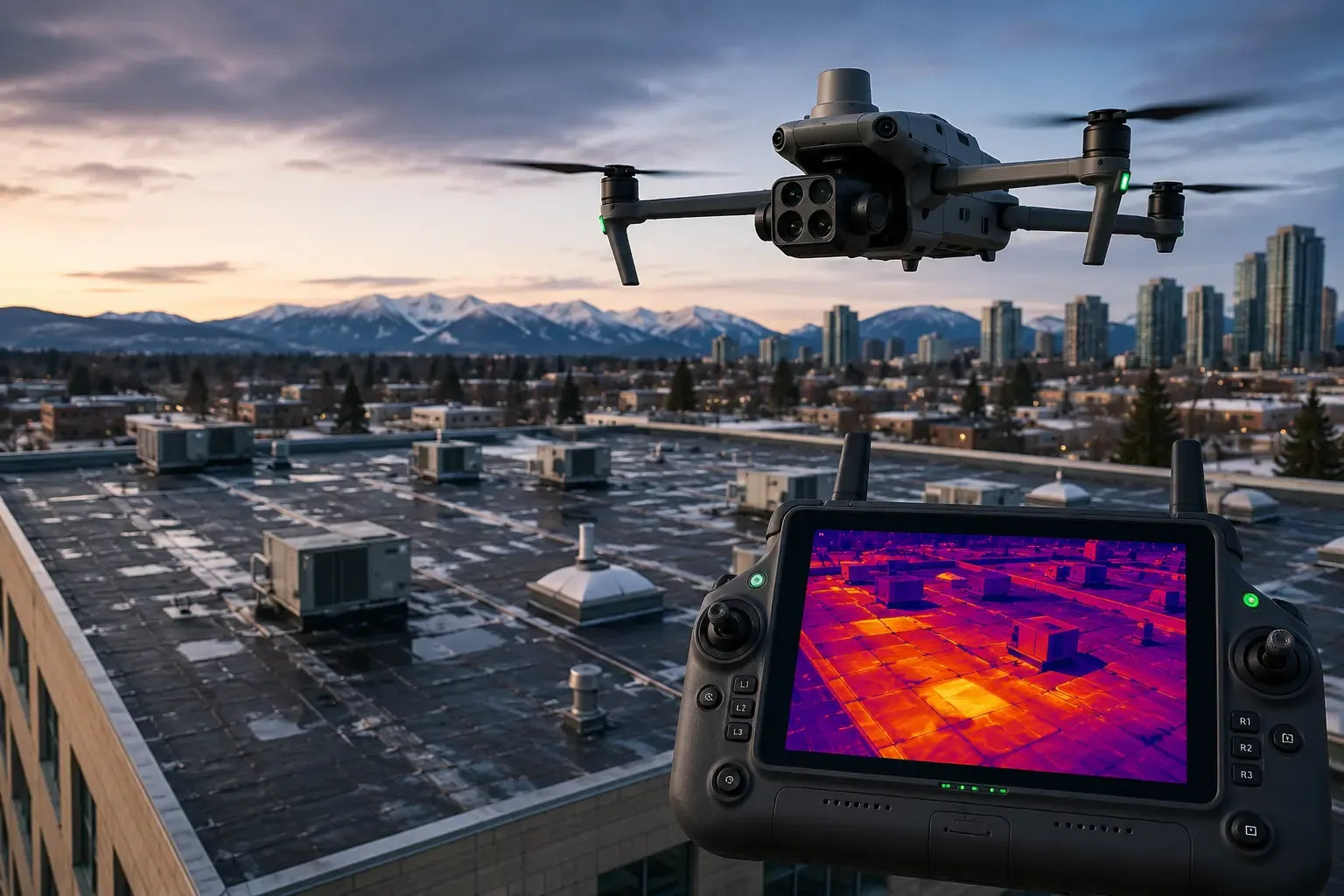
We treat the drone as one tool, not a substitute for a roof walk. It finds what is visible from above: ponding, open seams, displaced flashing, storm debris and hail marks. Then we decide where a person needs to go to look closer.
When a drone makes sense
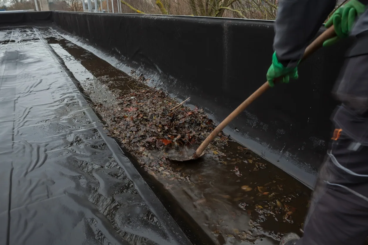
A drone earns its keep in four situations. The first is a big roof, where walking every square would take a full day. The second is a fragile roof, such as old coating, aged single-ply or skylight-heavy areas where a footstep can do damage. The third is a steep or high roof, where fall protection adds time and cost. The fourth is a fast post-storm survey, when many buildings need a first look before anyone can schedule full walks.
On the other hand, a small roof with a few units is often quicker to walk. We pick the method that fits the building, and many jobs use both.
What we capture: photos, maps and close-ups
Each flight produces an overview and detail. A wide pass shows the whole roof, stitched into a single map. Lower passes capture seams, drains, curbs, penetrations and edges. Close-ups document anything that looks wrong.
We tag each image to a location on the roof plan, so a finding on the east parapet is easy to find again. Thermal imaging from the air can add a layer for moisture clues, but only an infrared moisture survey run in proper conditions, followed by cores, confirms wet insulation. We say which findings are visual and which need follow-up.
After a storm: fast surveys of many roofs
When weather hits, speed matters. Birmingham's spring storm season runs hard, with a second season in November and early December. Hail is not rare here. Central Alabama logged 29 days of stones above three quarters of an inch in 2003, and some reached softball size on April 25.
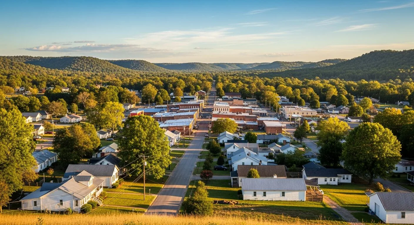
A drone lets us look over a retail center, an office park or a distribution site quickly after a storm. We can spot hail marks, lifted edges, torn membrane and debris, and mark the roofs that need a walk first. For multi-building owners, that triage saves days. Hail damage repair then follows from what the flights show.
Where it helps: big roofs around Hoover
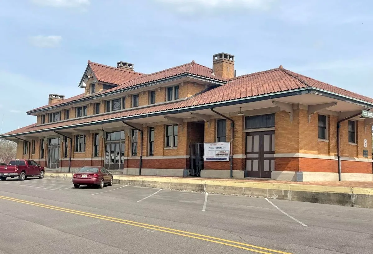
Along US 31 the Riverchase Galleria mixes shopping, hotel and office space, and Riverchase Office Park holds many large corporate tenants, so a single survey can cover several buildings. In Bessemer, an 800,000 square foot Amazon fulfillment center was announced in 2018, which shows the scale of distribution building in the area. In Fultondale, Colonial Promenade is a shopping center that opened its first portion in 2007.
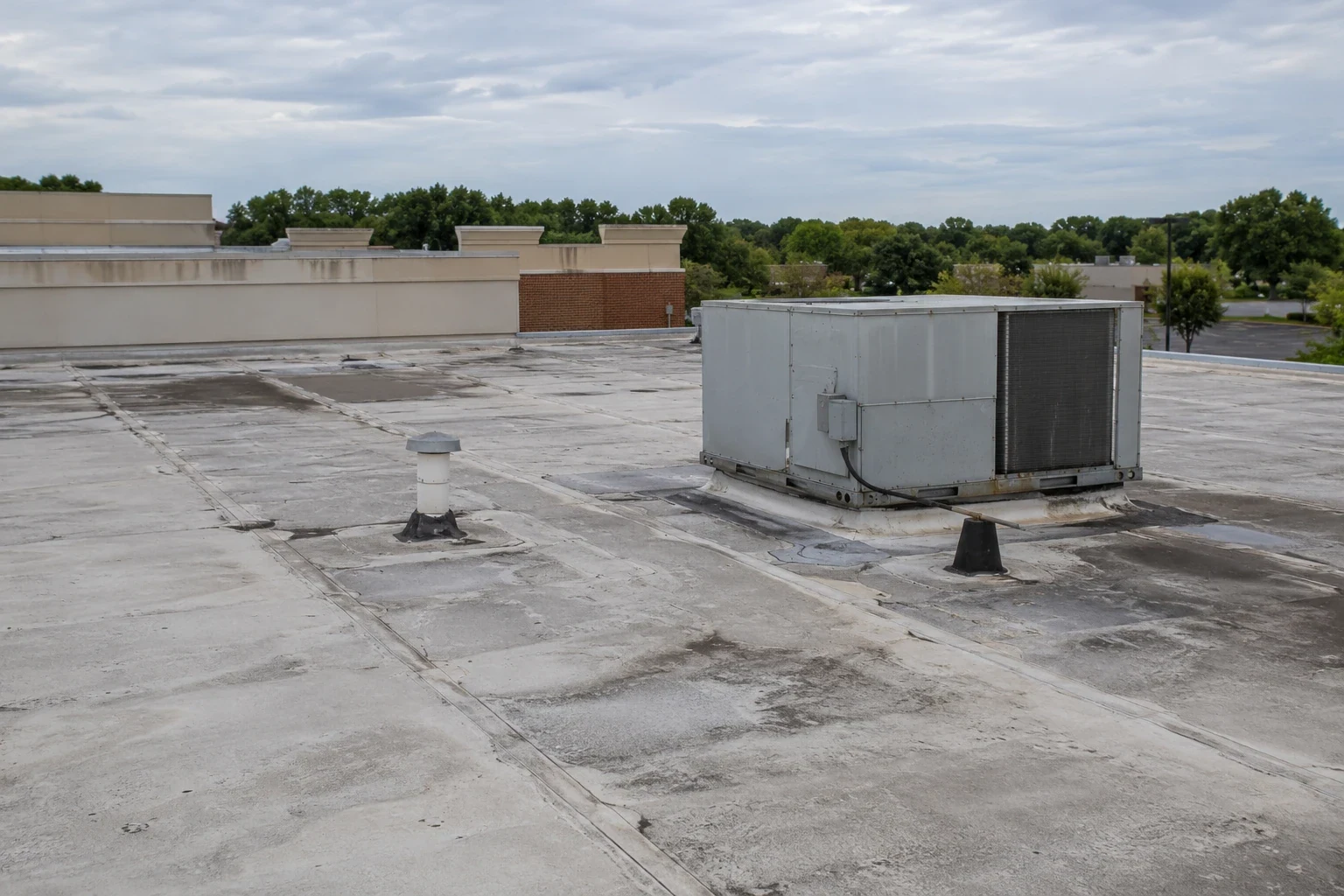
For a shopping center or an office complex, a drone survey gives a first picture before a crew steps on the roof. We measure the roof itself from the imagery rather than guessing from the building footprint. That measurement feeds the budget for repair or replacement.
Flight planning: what we check before takeoff
Before any flight we check the forecast, the wind and the airspace. Gusty days make a drone drift and blur images, so we reschedule rather than fly a poor pass. Storm cells and low cloud ground us the same way. We also look at the site: where tenants park, where people walk below the flight path, and where we can launch and land without crossing a crowd.
Roofs near ridges and open corridors feel more wind. Chelsea, for example, has part of its city limits on top of the Double Oak Mountain ridge along US 280. A calm morning at street level can be breezier at roof height on a ridge. We plan flights for the early hours when air is steadier, and we keep a manual log of each flight for your records.
More on Drone Roof Inspection
What a drone cannot do
A drone sees the surface. It cannot probe a seam, feel a soft deck or tell wet insulation from dry by sight. It cannot always see under equipment or into tight corners. Wind, rain and low light limit flights, and so does restricted airspace near airports. Birmingham has an airport and a National Guard air base in the metro area, so we check airspace rules before we fly.
Because of that, we use the drone to guide the work. Anything doubtful goes on a list for a hands-on roof inspection, and anything moisture-related goes to cores. You get a report that states what the imagery shows and what it leaves open.
What you receive
You get the image set, a marked-up roof plan, a short findings list and a recommended next step. If you manage several buildings, we organize the results by property so you can compare them. That feeds a multi-site roof program, where repairs and replacements are ranked across the portfolio.
We keep the files so you can compare flights over time. Same angle, same spot, a year apart. Changes in ponding, seams and flashing show up clearly that way.
Commercial Roofing Questions
Is a drone survey as good as walking the roof?
For finding visible problems on large or fragile roofs, it is a strong first step and often the safer one. For confirming wet insulation, probing seams and checking details up close, a walk is better. Most of the time the best result comes from using both: the drone shows the whole roof, and a walk checks what looks suspicious.
Can a drone find hail damage?
It can show dents, bruises and cracked coating on many surfaces, and it can show debris and displaced material. Some hail marks are subtle, and on a soft membrane they can hide in shadow. We use low passes and angled light, and we confirm important areas on foot. The imagery helps document the storm for your claim.
Do you need to be on site while the drone flies?
It helps if someone from the property can give us access and tell us about any sensitive areas, such as clinics, roofs near neighbors or areas with restricted flight. We handle the flying and the safety checks. The flight itself is usually short, and tenants rarely notice it.
What does a drone survey cost compared with a walk?
On a large roof, a drone survey usually takes less crew time than a full walk, so it can cost less for the first look. On a small roof, the savings shrink. We price by roof size and complexity and tell you up front which method is cheaper for your building.
Can the images go to my insurer or lender?
Yes. Dated images with location tags make a useful record. Many owners send them with a claim or a loan package. We label the images by roof section so a reviewer who has never seen the building can follow the findings.
How soon can I have the images after the flight?
The same day for a first look at the overview and any urgent findings, and a few days for the full marked-up report on a large roof. If a storm has just hit and several roofs need triage, we send the priority list first so crews can go where the worst damage is. The detailed set follows once we have tagged each image.
Related Roofing Work
Infrared Moisture Survey
Hail Damage Roof Repair
Bessemer
Shopping Center Roofing
Emergency Leak Calls
Call to schedule a drone survey
Give us the address and the number of roofs. We will tell you whether a drone, a walk or both fits the job, and when we can fly.